Here is a link to the map on my website.
Embedding the map was a very frustrating process. For some reason, I kept getting black circles in the rendered HTML for the iframe. I ended up just making a new application from the map and embedding that worked. Still don’t know what was going on the first time around. (EDIT: It’s still doing it sometimes. Try reloading if it happens to you.)

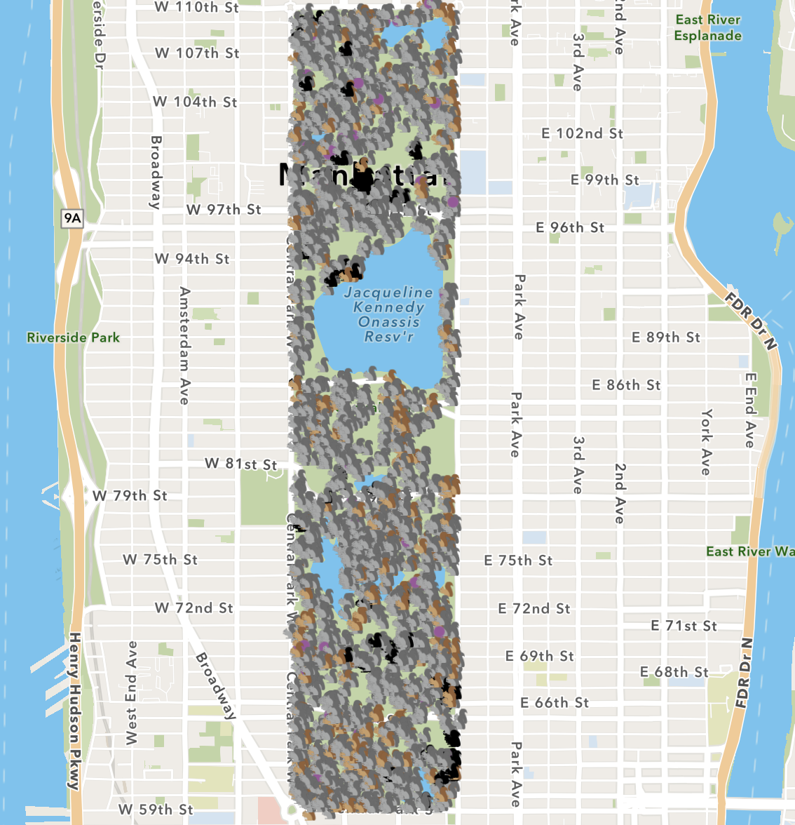
Other than that mishap, I thought the process was fun. I’ve used some other mapping tools in the past, and was impressed at how streamlined this software was. It came with a ton of pre-loaded material like base maps so you didn’t have to go find that stuff on your own. I ended up using the “community” base map because I thought the colors and aesthetic aligned best with the little squirrel icons. The interface easy to use once you figured out where stuff was.
I also liked the customizability in the app-creator view. I used feature that lets you rotate the map to align the streets with the frame (Manhattan streets are apparently 29 degrees off of due north-south, if you were wondering). I also got rid of all the zooming/sharing/searching buttons because why would you need that stuff for a map of squirrels.
I could definitely see myself using this again in the future.
“I also got rid of all the zooming/sharing/searching buttons because why would you need that stuff for a map of squirrels.” Haha true. I also agree with you that this is probably not the last time we use ArcGIS, and I’m looking forward to it!