Georeference is a technique to connect the historic maps with the modern map we know. The process is direct and intuitive: just find a map you want to work on and click the matching spots on both maps. I personally enjoyed this exercise, searching around the locations and matching the names on the maps like the images below.

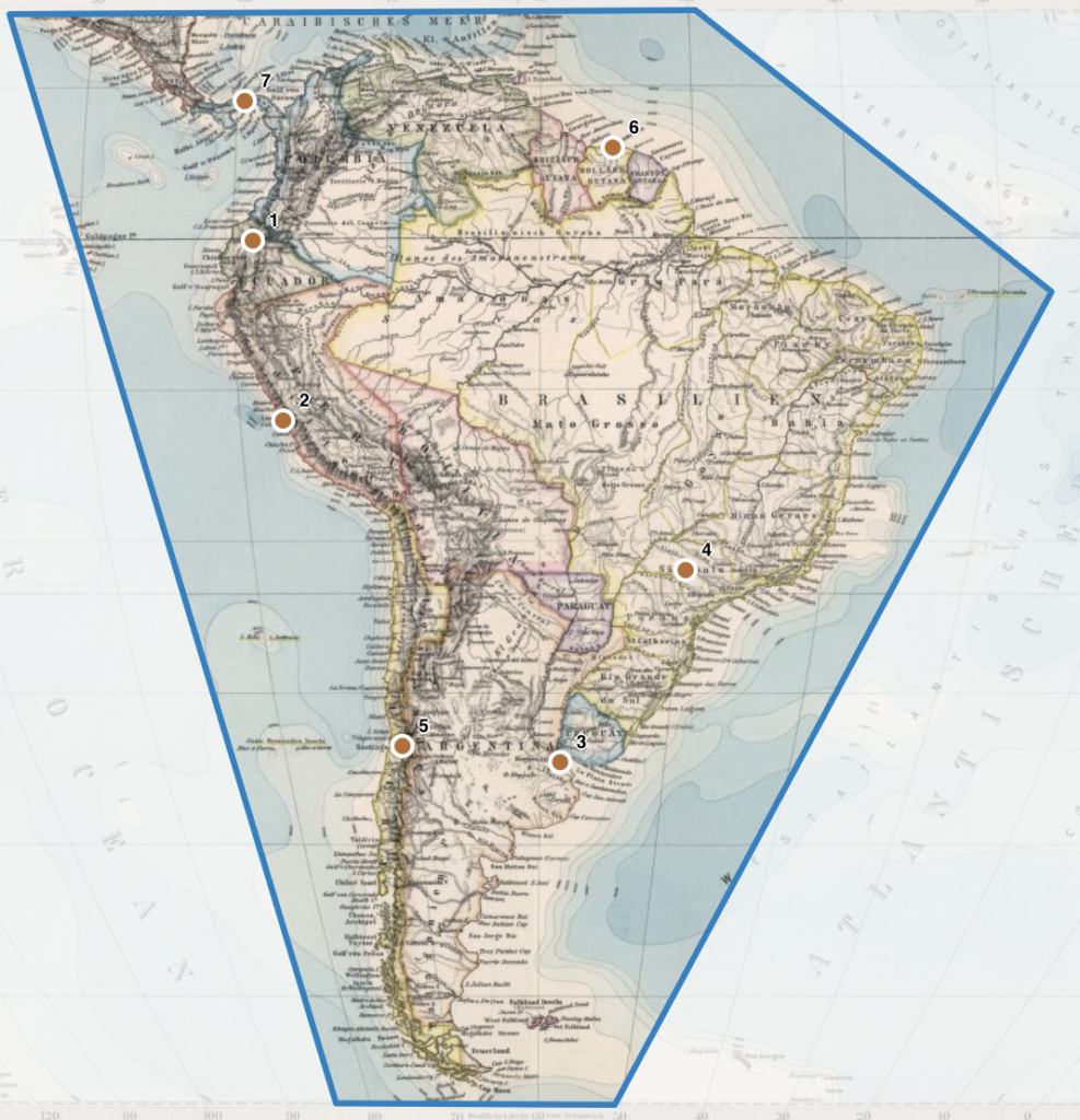
Once I finished setting the control points, I clipped the map area to rectify and overlay it on the modern map like below. I thought it’s a novel idea to compare the historic and modern maps side by side, which could also help people to understand the historical events easily with the geographic images. To access the rectified maps, Georeference website provides several formats such as IFFF or JSON and the viewers like GIS apps and LUNA.

When I was exploring the spatial DH projects, some projects, especially when they are focused on the cities, didn’t give me a sense of geographical informations. However, the Georeference project, which overlays the historical maps on the modern map, helped my understanding of recognizing the locations. I also think that the Georeference could be applied to many of the spatial DH projects and render the visualizations on the world map.
With the georectified map, we could discover the geographical view of the past historians such as the difference in size of the countries or the continents. Also, we can compare how the development of technology has changed the geographical features.
One concern that came up on my mind during setting the locations was that people might deliberately spoil the control points since this is an open source project, which can also affect the accuracy of the data. Also, we cannot guarantee the accuracy of the old map data, too. This also rises a concern that some fields that rely on accurate locations of the map might not benefit from this project.
Your point about how some people might intentionally place points incorrectly is a good one. I also briefly thought about this, and I wonder how this is handled. I was thinking that there might be some sort of moderation system. Regardless, I’d be interested in learning about how open-source projects in general handle these issues.