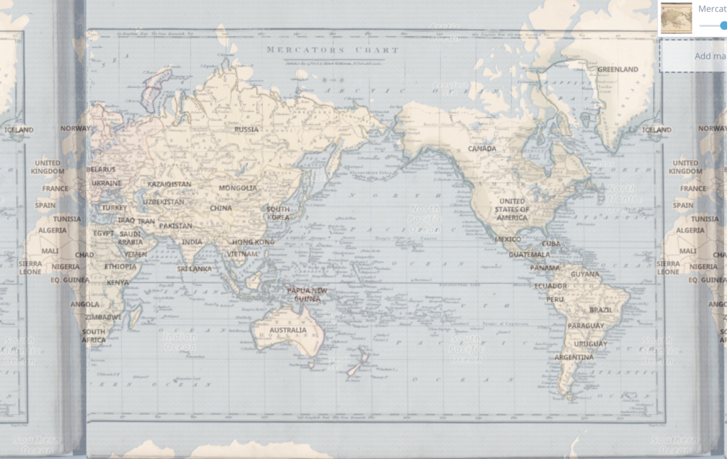
My <This Map> page can be seen here. The map I used is called Mercators Chart, and was depicted and published at 1808. This process of rectifying a historic map was an interesting experience, as it was fun to see the historic map being placed on the world map on the corresponding locations. As most of the projects I have done were 3D modeling or 2D modeling of the objects themselves, modeling a map onto another map was new to me, which definitely changed my understanding of spatial DH projects I have explored earlier.
According to the <This Map> page, ArcGIS, QGIS or web apps can simply use this map with web map services. WMTS, TileJSON or XYZ tiles are provided for quick access to processed maps. As the map I looked at is a world map from the 1800s, it can be used to compare how the map has changed between about 200 years, and even compare how the landscape has changed since then.
However, georeferencing can be inaccurate since the points that we use to overlap the two maps are not going to correspond exactly. The map I used was a world map so it was quite easy to find corresponding points on the world map, but there might be some sources which might not be suitable for georectifying, which can also be a disadvantage of georeferencing. Georeferencing also might not be suitable for some situations such as comparing change over constant time, as maps only show how the landscape looked like for one period of time. For example, movement of the army during the war would be hard to research using only one georeferenced map.
Hey Sunny. I agree that some historical maps cannot find points corresponding to the world map. So georeferencing may have some limitations. Also, your map looks amazing, just a small suggestion that you can crop the historical map to make the result more clearly.
I wonder if it is difficult to georeference large maps like the one you did versus smaller maps. Is georeferencing more useful for smaller maps?